
Old Fall River Road in Rocky Mountain National Park
Peter BrahanThe Old Fall River Road in Rocky Mountain National Park is quite the adventure! Open during a brief time in the summer, driving on this rustic road gives you a feeling that you’ve gone back to a time when these great National Park roads were first built.
If you have a steady hand at the wheel, a thirst for excitement and all other passengers in the car have confidence in your driving skills (this is a must!), then driving on the Old Fall River Road s road is for you!

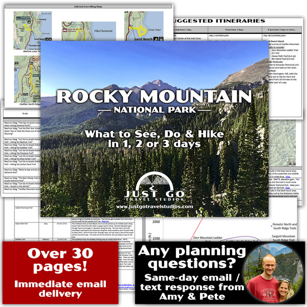
Our extensive Rocky Mountain National Park itinerary gives you everything you need to know ahead of your trip to Rocky Mountain National Park. In addition to great drives like the Old Fall River Road and Trail Ridge Road, we rank the best hikes in each area and provide some suggestions on what to pack and what to see in the area.
HISTORY AND GEOGRAPHY OF THE OLD FALL RIVER ROAD
Construction on the Old Fall River Road started in 1913 after the Estes Park Improvement and Protection Association secured funding from the Colorado government. The work was initially started using labor from local prisoners (who made little progress). The road was later finished by contractors and was finally opened to the public in 1920.
The road climbs to an elevation of 11,976 feet at Fall River Pass. Though not climbing as high as the paved Trail Ridge Road (which reaches an elevation of 12,183 feet), you’ll still feel like you’ve climbed to the top of the world when the drive is over!

OLD FALL RIVER ROAD CONDITIONS AND LIMITATIONS
As the Old Fall River Road is dirt and was built long ago, it is only made for cars and smaller trucks. There are 16 hairpin turns with only a few pullouts and no way to turn around for the faint of heart. The road is only between 8 and 14 feet wide and can only be traveled one-way (from east to west).
Some of the areas are very steep, and drivers won’t have the comfort of guardrails-the entire road is without any protection from the cliffside.

The speed limit is 15 mph for the entire length of the 11-mile road. While a more direct route than Trail Ridge Road, between the speed limit and traffic, you should count on it taking about an hour to get to Fall River Pass (which is longer than it will take you if you plan on driving on Trail Ridge Road, but not by much).
Because of the massive amount of snowfall that this region gets, the road is only open from early July through September. The road is subject to temporary closure (or permanent closure if in the fall) if there is ever a snowfall that makes it unsafe for travel. To check to see if the Old Fall River Road is open, see the NPS website on the Old Fall River conditions.
We drove the road in a front-wheeled drive minivan and had no issues getting up any of the hills or around the turns. There were plenty of sedans on the road as well. As long as your car is reliable, you shouldn’t have any problems at all.

OLD FALL RIVER ROAD LOCATION
The Old Fall River Road starts past the Alluvial Fan near the Endovalley picnic area. From the entrance station to Rocky Mountain National Park near the Fall River Visitor Center, it is about 4.4 miles west (Directions from the Fall River Visitor Center to the Old Fall River Road).

After the 11-mile drive, the Old Fall River Road ends at the Alpine Visitor Center. This visitor center is higher in elevation than any other National Park visitor center! The weather up here is cold no matter what time of year, so make sure you bring a jacket.

HIKING ALONG THE OLD FALL RIVER ROAD
As the road closes in on the Alpine Visitor Center, the road passes by the Chapin Creek Trailhead. From here there are several hikes:
- Chapin Pass is a 3.9-mile, moderate hike with 1463 feet in elevation gain.
- Chapin Creek is a 1.5-mile, moderate hike with 715 feet in elevation gain.
- Ypsilon Summit can also be reached from here. This is a 6.4-mile round trip hike with over 2,000 feet in elevation gain.
There is room for approximately 10 cars to park at the Chapin Creek trailhead.
Another hike is the Marmot Point Trail. This 0.8-mile hike starts about 0.5 miles from the end of the Old Fall River Road. It only gains 328 feet and is a fairly easy trek to an amazing view. Parking is very limited at the Marmot Point Trailhead (there is only room for a few cars), but the turnover is quite fast since the hike is so quick.

FURTHER INFORMATION ON ROCKY MOUNTAIN NATIONAL PARK FROM JUST GO TRAVEL STUDIOS
- Make sure you check out our downloadable Rocky Mountain National Park itinerary.
- Be sure to check out our blogs on What to See and Do in Rocky Mountain National Park and the Best Hikes in Rocky Mountain National Park.
- One of our favorite hikes in Rocky Mountain National Park was the Emerald Lake, Lake Haiyaha and Alberta Falls loop. We loved how this allowed us to see some of the best sights in the park but also get away from some of the crowds.
- When you get back from your trip make sure you send us a photo so we can make a custom, vintage-style travel poster for you!

OTHER USEFUL INFORMATION ON ROCKY MOUNTAIN NATIONAL PARK
- If this is your first time heading to Rocky Mountain National Park, be sure to review the great blog from “That Was a First” on 25 Tips for your First Visit to Rocky Mountain National Park.
- For a great overview of traveling in Rocky Mountain National Park, check out the article that Diana (from “Traveling In Heels”) wrote, on a family friendly road-trip in Rocky Mountain National Park.
- Candy and Crystal (from “Travel Pockets”) give a great guide to Estes Park in their blog: Estes Park and the Rocky Mountains.
- Laurence and Jessica (from “Independent Travel Cats”) tell the interesting story of the Stanley Hotel in their blog, The Stanley Hotel in Estes Park Colorado: History, Hauntings & Whiskey

