Mesa Arch Trail in Canyonlands National Park
Peter BrahanThe Mesa Arch Trail in Canyonlands National Park is probably the most famous hike in the park-and for good reason. This easy trail with relatively low elevation gain or difficulty leads to one of the most photographed spots in the park. You can get up close to this amazing arch, and it offers spectacular views available. While there are many great hikes in the Canyonlands National Park, none matches up to this one in terms of effort vs. reward!
Since it’s so popular, you’re best to do a bit of planning ahead of your trip to be sure that you get what you are seeking and not disappointed by the crowds or the lighting. That’s why we wrote this blog! We hope that this guide helps you plan out your time at this incredible natural arch.
MESA ARCH TRAIL DETAILS
- Difficulty: Easy
- Distance: 0.6 miles (round-trip)
- Trail: Loop
- Elevation gain: 121 feet
- Peak elevation reached: 6,161 feet
- Best time of year to hike: Early spring to late fall
- To beat the crowds: Arrive before 5:30 am or after 4:00 pm
- Footwear: Sneakers
- Watch out for: Sun exposure
- Restrooms: Located at the trailhead, but not on the trail
- Pets: Not allowed
- Time needed: 30 minutes
The Mesa Arch Trail is one of many hiking trails in Canyonlands, and there is also a ton more to do that just hike! Our itinerary for Canyonlands National Park will help you plan out your trip, where to stay, what to pack and what to do in the area. Be sure to download it ahead of your trip!
PARKING AND TRAILHEAD FOR THE MESA ARCH TRAIL
Mesa Arch Trail parking area, courtesy of the National Park Service
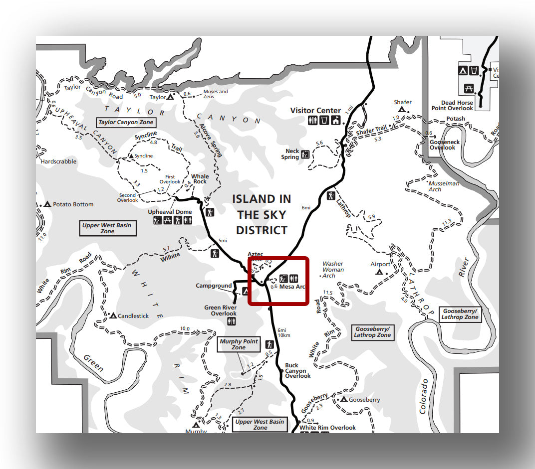
The trailhead for the Mesa Arch Trail is right in the heart of the Island in the Sky District. It’s located just north of the junction of Grand View Point Road and Upheaval Dome Road. From the Island in the Sky Visitor Center, head south of Grand View Point Road for about 6.1 miles and you’ll find the parking area on the left (east).
- Directions from the Canyonlands Visitor Center to the Mesa Arch Trail (this will take about 12 minutes without stopping; traffic will not be bad once you enter into the park).
The parking lot for Mesa Arch is quite small. There are about 25 parking spots, plus a few spots for RV’s. The parking lot does fill up, but since the hike is so short, turnover in the parking lot is high and you won’t have to wait too long. Since this is the first stop in the park for many people, it can tend to get crowded especially in the morning.
Restrooms are available at the parking area, but there aren’t any on the short trail to Mesa Arch.
MESA ARCH TRAIL: TRAIL SURFACE AND ACCESSIBILITY
- Trail surface. The trail is packed dirt with some steps along the way. Nothing about it is hard to navigate, but you do have to keep your eye out on where you step just to be safe!
- Accessibility. While the trail is not challenging, it is not wheelchair accessible. For those that are using a cane or are capable of some uneven surfaces, this trail is definitely doable.
PREPARATION FOR HIKING THE MESA ARCH TRAIL
This hike is really short and will not take you long. However, you still need to be sure you bring a few things with you, just in case. Here are a few essentials that we recommend, no matter what time of year you hike Mesa Arch:
- Water. Even though the trail takes about 30 minutes, we can’t stress enough that you need to be sure to bring water. You don’t need much and may not need any at all, but you definitely need to have it when you hike in the high desert.
- Sun Protection. We recommend both sunscreen, a hat and sunglasses. The trail is exposed the entire way, and the sun will bake you fast!
- Shoes. The tail is relatively flat and easy, but we do recommend wearing closed-toed shoes with good grip to be sure you have a good experience and maintain solid footing the entire time.
HIKING THE MESA ARCH TRAIL
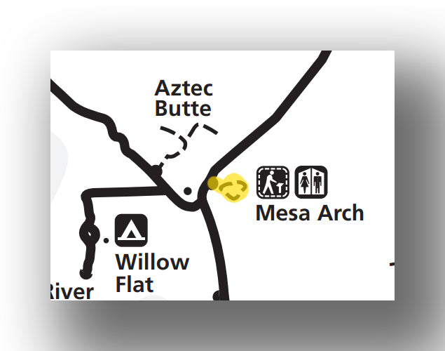 Mesa Arch Trail map, courtesy of the National Park Service
After finding a place to park and gearing up, the trailhead starts off by heading east. Right at the beginning of the trail you’ll have a decision to make-left or right. If you head to the right, you’ll take on a bit steeper terrain heading to Mesa Arch than on the way back (which is what we recommend).
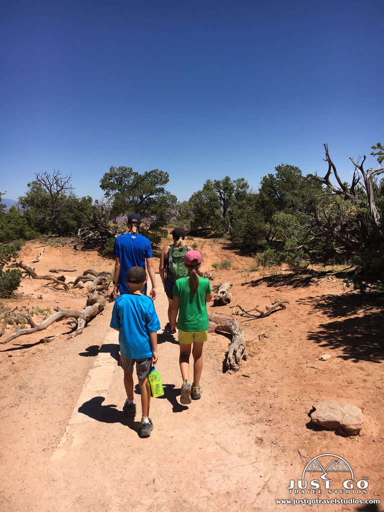
If you head to the right, you’ll have views to the east and south along the way. The trail is flat for the first 0.2 miles before descending the last 0.1 miles on the way to Mesa Arch. As you arrive closer to the arch the trail steepens, so just watch your step and keep an eye on any children.
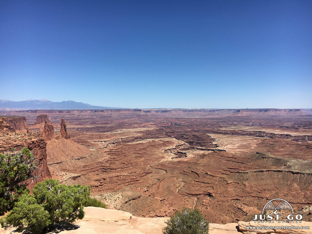
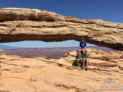
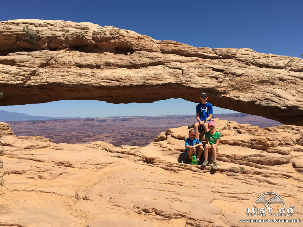
Once you get to the arch, you’ll see the impressive 27-foot structure. In the back you’ll have views of the La Sal Mountains.
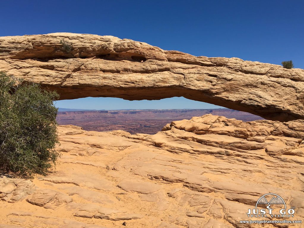
You’ll likely have to wait your turn to take a few pictures, as this is a common spot for great vacation photos! Even though it can be busy, we still recommend taking this hike. Be careful as you explore the area around the arch, as just behind it, there is a sheer drop-off.
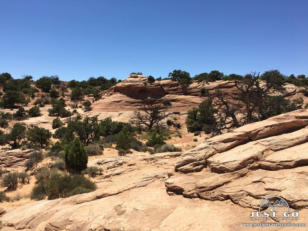
Heading back on the other side of the loop, the trail climbs very briefly before being flat again on the way back to the parking area.
MESA ARCH TRAIL: TOP LIKES AND DISLIKES
Likes:
- Unmatched Views. We think that Canyonlands National Park has some views that rival the Grand Canyon, and combining the views of the canyon with the arch in the foreground makes for some really cool photos!
- Quick and Easy. As we mentioned earlier, there are few trails that you’ll go on like the hike to Mesa Arch that has as big of a payoff for such little work!
Dislikes:
- Crowds. This arch is well known for having amazing views, particularly in the early daylight hours. Therefore, people line up for hours ahead of sunrise to claim their spot for pictures. In fact, it’s not rare for it to be crowded by sunrise. This can take away from the experience if you are not prepared for it.
HIKING THE MESA ARCH TRAIL IN WINTER
The Mesa Arch Trail is open in the winter, though this part of Utah does get snow, and you should expect both snow and ice on the trail. However, the crowds are much less during this time of year. IF you do choose to head out on this hike in the colder months, we recommend the following:
- Be sure to get some traction (like microspikes) for your shoes. This will enable you to not slip off the trail!
- Bring plenty of warm weather gear, as it can be super cold!
THINGS TO DO NEAR THE MESA ARCH TRAIL
The Island in the Sky District is full of great things to do, whether you like to hike long distances or just look at some amazing views. Here are a few ideas of things to do near the Mesa Arch Trail:
- Just to the east is the Aztec Butte Trail. This short hike (1.6-miles, round-trip) has about 260 feet of elevation gain. After heading across on a sandy trail, the trail ascends quickly up slickrock where you’ll find terrific views. You can also see granary ruins along the way.
- Another great stop is the Green River Overlook. From here you can see the Maze District, look down on the White Rim Road and also see the Green River, over a thousand feet deep below the overlook. This is a great spot to see sunset as well.
FURTHER INFORMATION ON CANYONLANDS NATIONAL PARK FROM JUST GO TRAVEL STUDIOS
- Before your trip, we recommend downloading a copy of the Utah’s Big 5 National Parks Itinerary.
- Be sure to check out our other Canyonlands blogs, including What to See and Do in Canyonlands National Park, and the Best Hikes in Canyonlands National Park.
- When you get back from your trip, send us a photo and we’ll create a vintage-style travel poster! This is a great way to remember your trips forever!
