Best Campgrounds in Lassen Volcanic National Park - Guide & Maps
Peter BrahanIf you want to be immersed in this amazing landscape, then staying in one of the many Lassen National Park camping options is a perfect way to do so. Lodging in nearby towns, like Susanville, are certainly viable options, but there really are campgrounds in every part of the park, making it a much easier place to stay if you want to be able to drive into the park and stay here for days at a time.
With the numerous options in the park, it can be tough to try to select which is the best campground in Lassen Volcanic National Park to suit your particular needs. Hopefully this guide will help you through the process!
LASSEN VOLCANIC NATIONAL PARK CAMPGROUNDS: OVERVIEW
Lassen Volcanic National Park is one of the lesser-known and lesser-visited parks in the country, but it has an amazing number of campgrounds to choose from-seven in total. And since there are campgrounds situated in virtually every major area of the park and the park is relatively small, you really can’t go wrong with where you choose to call your home for a few nights. If you have a small campsite and are fairly mobile, changing locations partway through your visit is also a terrific option.
While Lassen Volcanic National Park draws in only approximately 500,000 visitors a year, most of those tourists arrive between June and the first part of September, as this area is known for getting a ton of snow, and snow clearing isn’t typically finished until well into June. What this means is that you likely want to grab reservations for your camping excursion ahead of time, if at all possible. Four of the campgrounds accept reservations.
LASSEN VOLCANIC NATIONAL PARK CAMPING SUPPLIES
For camping supplies, you have a few options. There are camp stores located near the Southwest Entrance and Manzanita Lake in the northeast. Old Station and Hat Creek are the best options if you are in the northwestern part of the park and Chester provides services for the southeastern part of the park. There are plenty of larger camping supply stores in Red Bluff, CA, which is 42 miles to the west of the park and best visited on the way in.
Before you go, we recommend you check out our downloadable guide for Lassen Volcanic National Park, which has all the best hiking trails, what to pack and what to see while you are in the area. Plus, since cell reception in the park isn’t great (that’s an understatement!), it’s handy to have a guide that can help you out!
LASSEN VOLCANIC NATIONAL PARK CAMPING – SOUTHWEST AREA

Map of the Southwest Area in Lassen Volcanic National Park Road, courtesy of the National Park Service
Southwest Walk-In Campground:
- Location: The Southwest Walk-In Campground is located immediately south of the Kohm Yah-mah-nee Visitor Center near the Southwest Entrance Station. Directions from the Kohm Yah-mah-nee Visitor Center to the Southwest Walk-In Campground.
- Accessible via: Parking is located within only a few yards (to 60 yards) of the campsites.
- Reservations: None.
- Capacity: 21 sites.
- Electricity / Water Hookups / Dump Station: No / No / No.
- Toilets / Showers: Flush toilets and no showers.
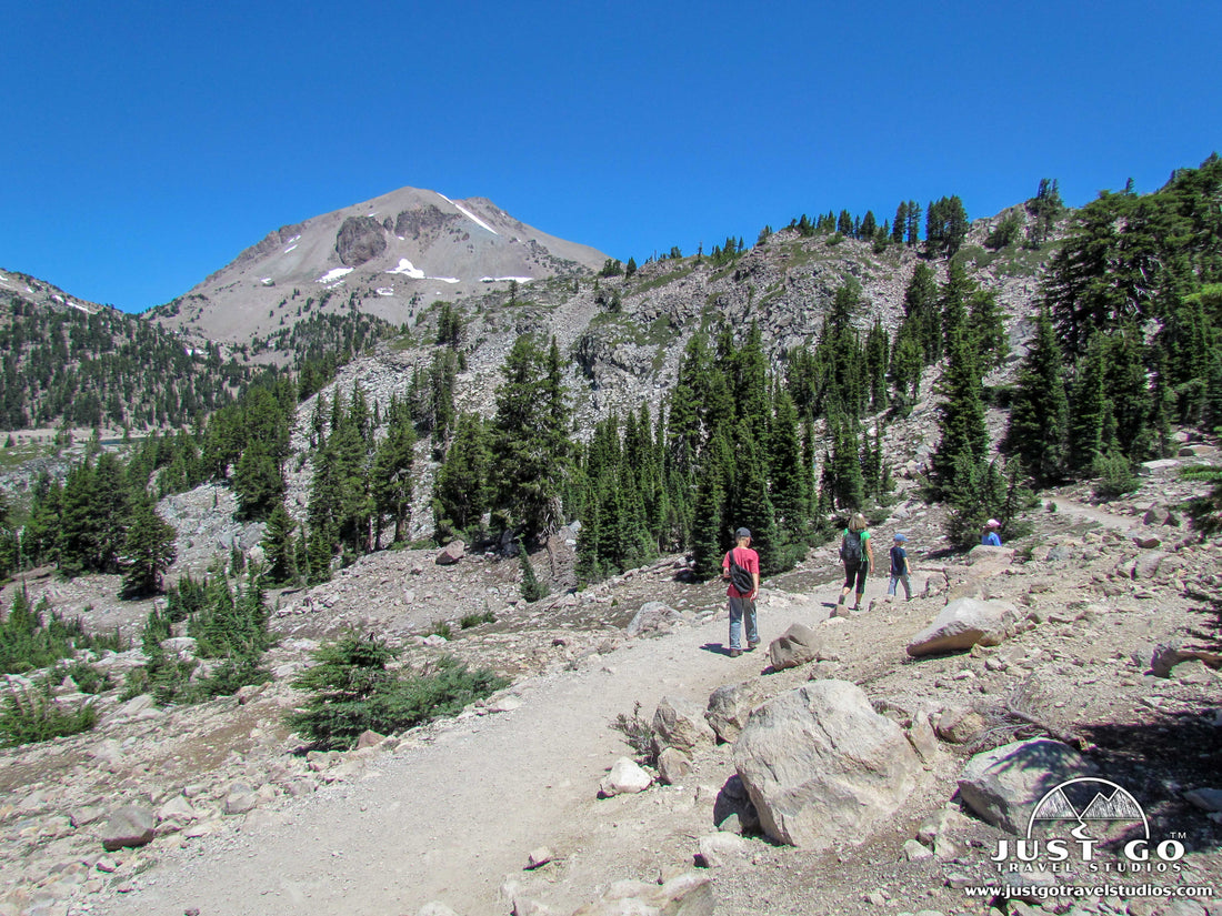
- Nearby: In addition to the Kohm Yah-mah-nee Visitor Center, the Brokeoff Mountain Trail is 0.5-miles south of the campground. This 6.8-mile (round-trip) hike climbs 2,548 feet in elevation on the way up to the peak of Brokeoff Mountain. This trail is challenging-very challenging, but leads to a wonderful 360-degree view. The Crumbaugh Lake Trail leaves right from the campground. This moderate 8.0-mile (round-trip) hike climbs over 600 feet, on the way to Crumbaugh Lake. You also have to check out Sulphur Works. This smelly geothermal feature is 1 mile north of the campground.
- Additional details: The Southwest Walk-In Campground is exactly that-it is a small campground only accessible by a short walk from the parking area. The proximity to the visitor center is very convenient. Some people have paid to park and stay in the parking lot in their RVs (without any services). Click here for the latest information on the Southwest Walk-In Campground

Southwest Walk-In Campground map in Lassen Volcanic National Park, image courtesy of the National Park Service
Summit Lake South Campground:
- Location: The Summit Lake South Campground is located on Lassen Volcanic National Park Highway on the south side of Summit Lake. It is 15.6 miles northeast of the Kohm Yah-mah-nee Visitor Center. Directions from the Kohm Yah-mah-nee Visitor Center to the Summit Lake South Campground.
- Accessible via: Car.
- Reservations: Offered late June through mid- September. Summit Lake South Campground Reservations.
- Capacity: 49 sites.
- Electricity / Water Hookups / Dump Station: No / No / No.
- Toilets / Showers: Pit toilets and no showers.
- Nearby: The Summit Creek Trail heads directly south of the campground. This trail connects to a variety of other trails, and a popular backpacking trip includes the 23-mile loop to Snag Lake and Horseshoe Lake. See the Summit Lake North Campground listing for additional hiking ideas.
- Additional details: The Summit Lake South Campground is paired up with the Summit Lake North Campground, with the South Campground being a bit more rustic. This is a very quiet campground with great access to Summit Lake as well as great views. This area is the most central campground in the park, offering easy access to anything along the Park Highway. Click here for the latest information on the Summit Lake South Campground

Summit Lake South Campground map in Lassen Volcanic National Park, image courtesy of the National Park Service

Summit Lake North Campground:
- Location: The Summit Lake North Campground is located on Lassen Volcanic National Park Highway on the south side of Summit Lake. It is 15.7 miles northeast of the Kohm Yah-mah-nee Visitor Center. Directions from the Kohm Yah-mah-nee Visitor Center to the Summit Lake North Campground.
- Accessible via: Car.
- Reservations: Offered late June through mid- September. Summit Lake North Campground Reservations.
- Capacity: 45 sites.
- Electricity / Water Hookups / Dump Station: No / No / No.
- Toilets / Showers: Flush toilets and no showers.
- Nearby: The Echo Lake Trail leaves right from the campground. This 4.7-mile (round-trip) hike is moderate difficulty and climbs over 800 feet to Echo Lake. It also offers some of the best views of Mount Lassen.
- Additional details: The Summit Lake North Campground is north of Summit Lake. The Summit Lake North Campground is fantastic, with access to Summit Lake. Click here for the latest information on the Summit Lake North Campground

Summit Lake North Campground map in Lassen Volcanic National Park, image courtesy of the National Park Service
LASSEN VOLCANIC NATIONAL PARK CAMPING – MANZANITA LAKE AREA

Map of the Manzanita Lake Area in Lassen Volcanic National Park Road, courtesy of the National Park Service
Manzanita Lake Campground:
- Location: The Manzanita Lake Campground is located in the northwest corner of the park. It is directly south of the Loomis Ranger Station, which is about 1 mile from the Manzanita Lake Entrance. Directions from the Manzanita Lake Entrance to the Manzanita Lake Campground.
- Accessible via: Car.
- Reservations: Offered late May through mid-October. Manzanita Lake Campground Reservations.
- Capacity: 179 sites.
- Electricity / Water Hookups / Dump Station: No / No / Yes.
- Toilets / Showers: Flush toilets and showers.
- Nearby: Manzanita Lake is a great recreation spot by itself, with plenty of things to do including swimming and kayaking. In addition, the Manzanita Lake Loop Trail leaves right from the campground (accessible via the Cabin Loop). This 1.9-mile loop is very easy with little elevation gain and great for families. For those looking for a bit more of a challenge, the Chaos Cras Trail is a 3.7-mile (round-trip) hike that climbs almost 1,000 feet and takes you through the crags, which is where a massive rockslide occurred.
- Additional details: The Manzanita Lake Campground is the largest and most popular campground in Lassen Volcanic National Park. Most of the campground is forested with shrubs, but there isn’t much in the way of privacy. Don’t expect much in the way of cell phone connectivity here either. Still, this is a great place to stay in the park with plenty to see and do nearby. Click here for the latest information on the Manzanita Lake Campground

Manzanita Lake Campground map in Lassen Volcanic National Park, image courtesy of the National Park Service
LASSEN VOLCANIC NATIONAL PARK CAMPING – BUTTE LAKE AREA

Map of the Butte Lake Area in Lassen Volcanic National Park Road, courtesy of the National Park Service
Butte Lake Campground:
- Location: The Butte Lake Campground is located in the northeast corner of the park. It is on Butte Lake Road (a gravel road), 6.5 miles south of California Highway 44. The turn to Butte Lake Road is 10.8 miles east of Old Station, CA. and is directly south of the Loomis Ranger Station, which is about 1 mile from the Manzanita Lake Entrance. Directions from Old Station to the Butte Lake Campground.
- Accessible via: Car.
- Reservations: Offered mid-June through mid-September. Butte Lake Campground Reservations.
- Capacity: 101 sites.
- Electricity / Water Hookups / Dump Station: No / No / Yes.
- Toilets / Showers: Flush toilets and no showers.
- Nearby: Butte Lake is remote, but there are some really great hiking spots, in addition to enjoying kayaking along the rocky shores of the lake. The Cinder Cone Trail is a challenging 4.8-mile (round-trip) hike that leaves from Butte Lake. It climbs over 1,000 feet as it heads up the cinder cones in the last half-mile, offering great surrounding views. The Bathtub Lake Trail is easier, leaving from Butte Lake but heading northeast for a 0.9-mile (round trip) hike to the smaller and quieter Bathtub Lake.
- Additional details: The Butte Lake Campground is very remote, being in the northeast part of the park and away from the main park road. You won’t see many people heading into and out of this area-it’s nothing like the main park with respect to crowds, as many people who visit the park never come up to this area. Click here for the latest information on the Butte Lake Campground

Butte Lake Campground map in Lassen Volcanic National Park, image courtesy of the National Park Service
LASSEN VOLCANIC NATIONAL PARK CAMPING – WARNER VALLEY AND JUNIPER LAKE AREAS

Map of the Warner Valley and Juniper Lake Areas in Lassen Volcanic National Park Road, courtesy of the National Park Service
Warner Valley Campground:
- Location: The Warner Valley Campground is located about one mile from the end of Warner Valley Road. It is about 16.5 miles northwest of the intersection with Highway 36, though the road is slow going (dirt) and it will take nearly an hour to drive this distance. Directions from Chester to the Warner Valley Campground.
- Accessible via: Car.
- Reservations: Offered mid-June through mid-October. Warner Valley Campground Reservations.
- Capacity: 17 sites.
- Electricity / Water Hookups / Dump Station: No / No / No.
- Toilets / Showers: Pit toilets and no showers.
- Nearby: Across from the campground are two trails. The Boiling Springs Lake Loop trail is an easy 2.4-mile loop with around 300 feet in elevation gain. This heads up to Boiling Springs Lake, which has constant bubbles. A more difficult trail is the Boiling Springs Lake and Terminal Geyser Trail, which is 5.7-miles (round trip) and heads to Terminal Geyser as well. Finally, the Devils Kitchen Trail is a 4.6-mile (round-trip) hike that climbs over 600 feet that includes hot springs and geothermal features. Black bear also frequent this trail, so be prepared.
- Additional details: The Warner Valley Campground, and this area in general, is known for being very quiet and peaceful. Though remote, this is a great place to make as a base camp for a couple of days while you enjoy the nearby lake and numerous hiking trails. Not all sites are reservable, so if you are passing by and want to camp here, make sure you stop in (though it is a drive to get here). Also, be sure to check out Drakesbad Guest Ranch (which is at the end of Warner Valley Road) for meals if you are tired of camp cooking. Click here for the latest information on the Warner Valley Campground

Warner Valley Campground map in Lassen Volcanic National Park, image courtesy of the National Park Service
Juniper Lake Campground:
- Location: The Juniper Lake Campground is at the southeast side of Juniper Lake. It is on Juniper Lake Road (which is a dirt road), about 12.3 miles north of Chester. It will take nearly an hour to get out here from Chester. Directions from Chester to the Juniper Lake Campground.
- Accessible via: Car.
- Reservations: None.
- Capacity: 18 sites.
- Electricity / Water Hookups / Dump Station: No / No / No.
- Toilets / Showers: Pit toilets and no showers.
- Nearby: Right from the campground is the Mount Harkness Loop Trail. This 5.7-mile (round-trip) hike is challenging and climbs up nearly 1,400 feet up Mount Harkness before hiking down to the Lake and returning along the shoreline. There are also several trails that begin from the end of Juniper Lake Road near the boat ramp.
- Additional details: The Juniper Lake Campground has minimal services (and no water). Just like the Warner Valley Campground, this place is pretty remote, takes time to get to and will get you away from any crowds. Click here for the latest information on the Juniper Lake Campground

LASSEN VOLCANIC NATIONAL PARK GROUP CAMPING
Group camping is offered at four campgrounds: Butte Lake, Lost Creek, Manzanita Lake and Juniper Lake.
- Butte Lake Campground Group Reservations
- Lost Creek Campground Group Reservations
- Manzanita Lake Group Campground Reservations
- Juniper Lake Campground Reservations
CAMPING OUTSIDE LASSEN VOLCANIC NATIONAL PARK
While there are usually plenty of campgrounds and campsites available in Lassen Volcanic National Park, you may find that you prefer campgrounds that are closer to civilization, have better services and facilities or have hookups for your larger RVs and campers. Old Station, CA has several campgrounds, as well as the towns of Mineral, CA and Chester, CA.
If you are looking at boondocking, there is a good selection of free campgrounds near Lassen Volcanic National Park. These sites are great (and remote), but be advised that you’ll be on your own out here…which may be exactly what you are looking for!
FURTHER INFORMATION ON LASSEN VOLCANIC NATIONAL PARK FROM JUST GO TRAVEL STUDIOS
- A great hike in the park is featured in our blog, hiking the Bumpass Hell Trail in Lassen Volcanic National Park. We also have a complete guide to camping in Lassen Volcanic National Park that may be worth checking out as well.
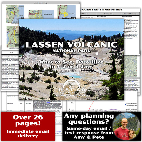
- Our Lassen Volcanic National Park itinerary covers the best hikes in this expansive park, as well as what to pack, what to reserve ahead of time and what to do while you are in the area.
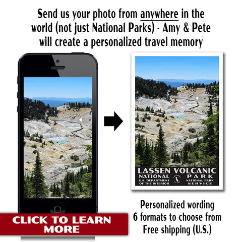
- If you happen to like National Park Posters, check out our Lassen Volcanic National Park Poster that is offered in sized up to 24” x 36”.

- After your trip, check out how we can work with you to create a custom, vintage travel poster. We have worked with thousands of customers and would love to work with you!